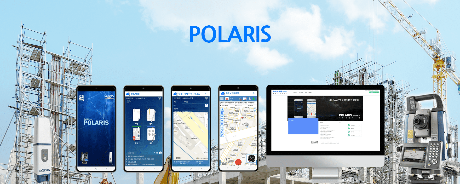
GNSS NETWORK RTK software developed with the best
technology in Korea
Online survey server integration enables
data and drawings
to be used on various devices
Provides powerful on-site functionality to
reduce visiting
hours
No reconfiguration required
Regional coordination settings
integration,
Public layer display,drawing display
Fast updates for Korean users to
improve the feeling of use
When performing surveys
voice guidance
Total Station Assistance
(manual/automatic support),
Deliverable
Immediate Generation
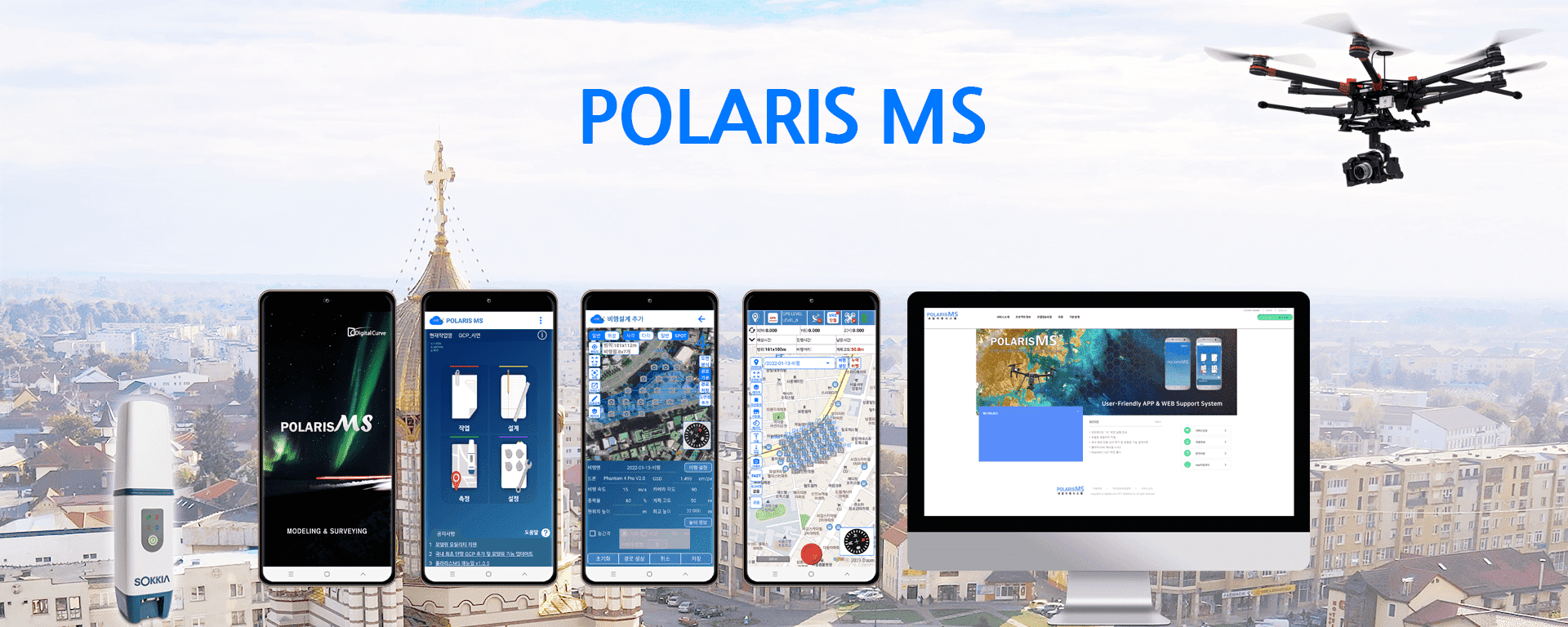
High-precision drone flight modeling software
developed with Korea's best technology
3D modeling Using
precision survey correction technology
Working
time can be shortened
Reduce
worker time with GCP auto-recognition
Korean drone flight operation
Real-time 3D mapping
management function
Various usability(laptop or server)
in-house modeling,
manufacturer's
proprietary server operations
Service support using
online modeling server,
Real-time
surveying
Internal
business support reporting function using technology specialized in
Korea
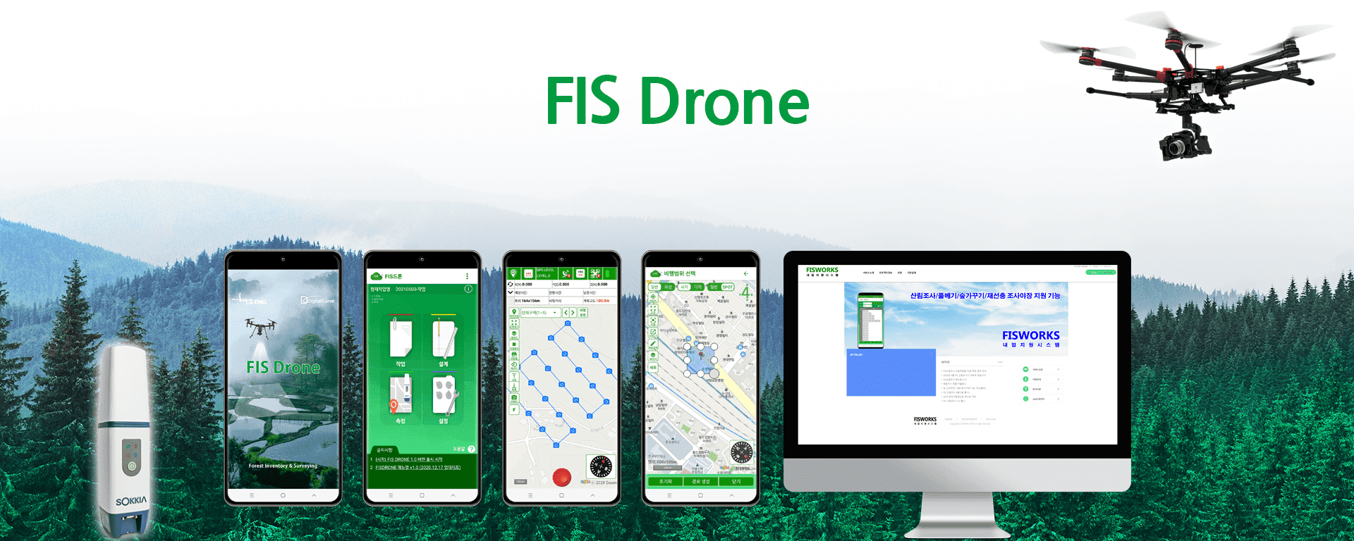
Real-time drone flight software exclusively
for Korean forests developed with the latest technology
Use data and drawings conveniently on
a variety of devices
through online server integration
High-precision survey status
survey function and Powerful
work
resistance function to reduce visiting hours
High-precision drawings on maps
Provides display functions
(DXF
display function),
Public data display functions
exclusively
for forests
Providing various field support
functions for forest sites
(coordinate
transformation function)
Korea's first drone site photo and
pilot function, Korea's
best
Real-time drone mapping
Business boundaries exclusively for forests
(intellectual,
area owner)
Provides information verification functions
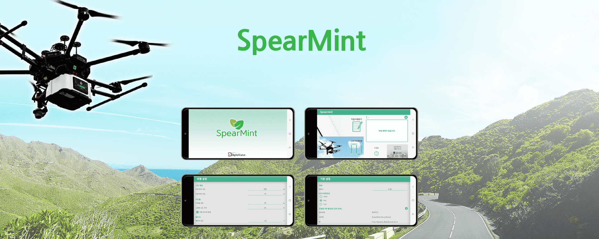
Korea's
first patent-based flight design solution for LiDARs
LiDAR mountable with one touch
without drone modification
3D flight confirmation and
auto-scanning flight
(with Google Earth)
Various alignment flightsautomatic execution
with cabinet
flight design
Fast and easy automated
processing with cloud
Analyze measurements in minutes,
check data retrieval
status
immediately
Easily perform data filtering

hipbuilding
precision management software developed with Korea's best
technology
xz
Equipment Connection
Bluetooth & Serial support and
Provides
fast and easy connectivity
Intuitive screen UI for measurement
Provides various point editing
functions such as
rotation/movement
Accurate calculation processing
using the formula applied
through
expert consultation
Service support using online modeling server,
Real-time
surveying
Internal business support reporting
function using
technology specialized in Korea
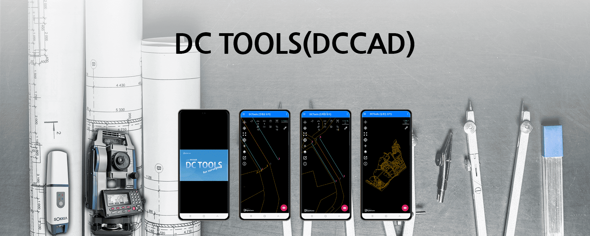
Unique
CAD file reading program incorporating
Digitalcurve's
technical capabilities
Digitalcurve itself
Development/Production Program
Possess the highest performance
dot extraction
Available separately by module
(You can sell modules when
requested by Admin)
Read DXF drawings
Enables you to use as a viewer
Provide 5 types of licenses and
select the features you
need
to sign up
Android CAD, Web CAD
compatibility application
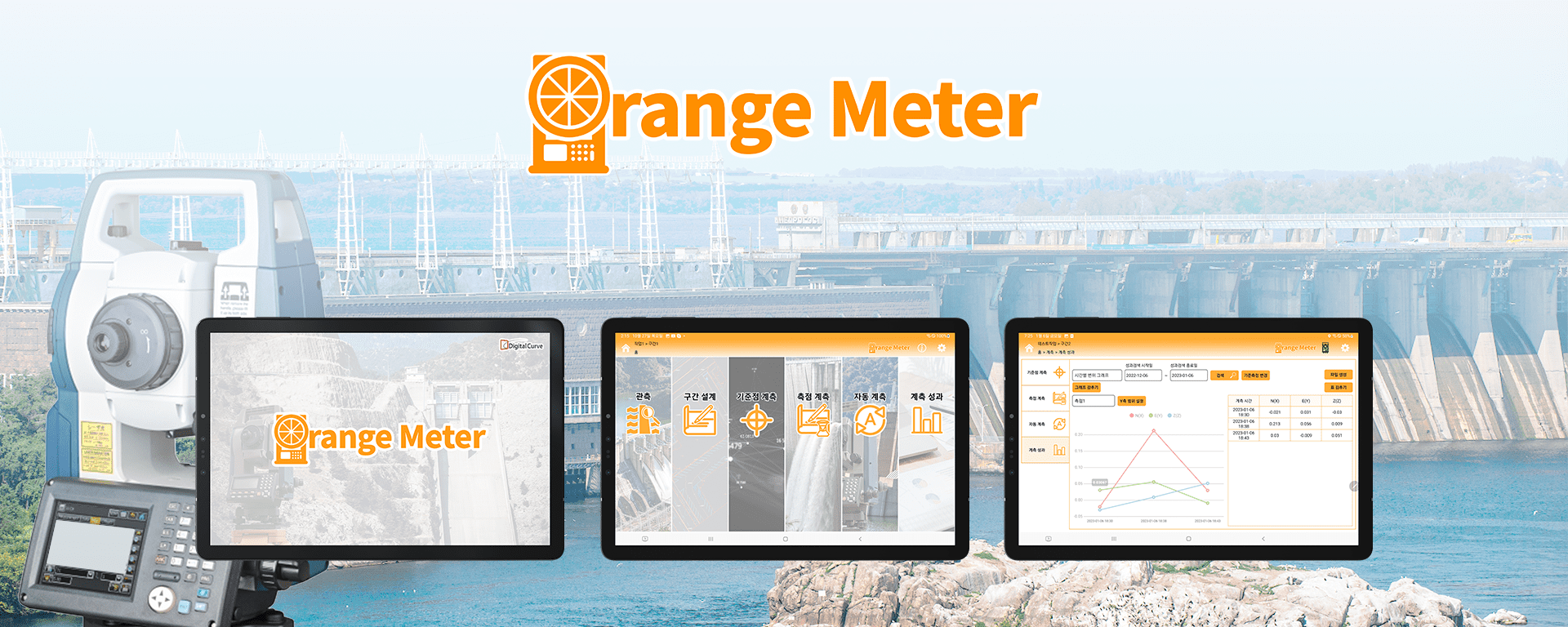
Automated
displacement measurement monitoring software developed
by Korea's top technology
Providing high-precision surveying
functions using
reference points
Minimize weather errors through
automatic correction
using
sensors
Unattended scheduled
automated measurement system
Measurement failure and
Abnormalities can be
checked
from the log
displacement above allowable
error Supports various
methods
of warning
notifications when observing
Various graphs and 3D
Check data performance and
Various
reporting capabilities